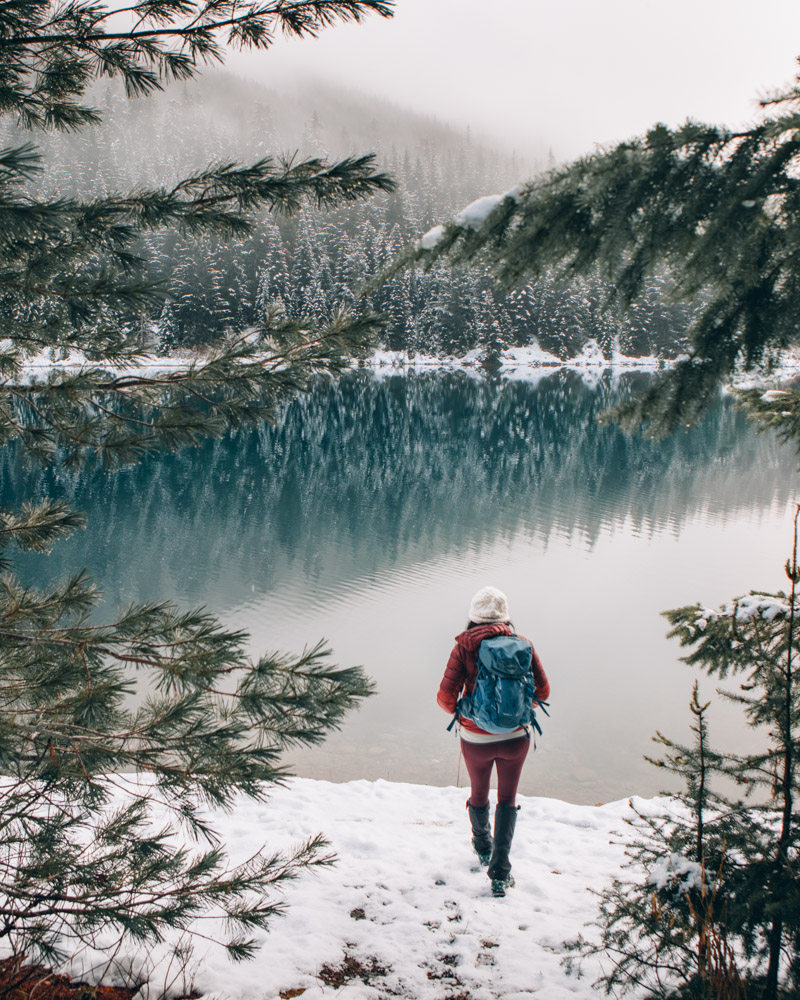
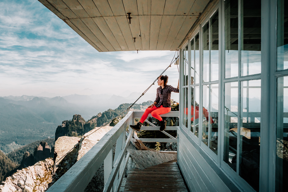
11 Epic Hikes on the Mountain Loop Highway (Washington Trail Guide)
I live in Lake Stevens, on the north end. The Mountain Loop Highway is 25 minutes from my door.
This is my backyard. When I have an hour, I’m here. When I have all day, I’m here. Sometimes I just drive it — windows down, river on one side, mountains appearing and disappearing through the trees. Even that feels like something.
The Mountain Loop has range. You can do a flat, easy walk to ice caves with your kids, or you can grind up Vesper and earn every single view. Ghost towns, alpine lakes, fire lookouts, waterfalls tucked into old-growth forest — it’s all here, strung along 55 miles of road between Granite Falls and Darrington.
I’ve done every trail in this guide — with my kids, my parents, with friends, solo when I needed to clear my head. Some are crowded for good reason. Some are quiet and stay that way. All of them are worth knowing about and knowing when to go.

Mountain Loop Highway at a Glance
The Route
- Length: 55-mile scenic drive, Granite Falls to Darrington
- Driving Time: 2-3 hours total (without stops)
- Road Conditions: Paved for most sections, 13 miles unpaved past Barlow Pass
The Hiking
- Trail Count: 11 hikes covered (easy to very challenging)
- From Seattle: 1-2.5 hours depending on trailhead
- Season: Year-round access (some trails better in specific seasons)
Logistics
- Permits: NW Forest Pass required at most trailheads ($30/year)
- Vehicle Needs: Most accessible by regular car, some require higher clearance
- Facilities: Limited, plan accordingly
What You’ll Find
Ice caves and unique geological features
Alpine lakes surrounded by granite cliffs
Historic ghost town and mining remnants
Spectacular 360° summit views
Cascading waterfalls through the forest

How to Plan Your Mountain Loop Highway Adventure
Best Times to Visit
Spring (April-June): Lower elevation hikes are snow-free, waterfalls at peak flow, wildflowers starting. Roads may be rough from winter damage.
Summer (July-August): Peak season with all trails accessible, warm weather, and alpine wildflower displays. Expect crowds on popular trails like Lake 22.
Fall (September-October): Excellent weather, fewer crowds, and beautiful autumn colors. Some higher elevation trails may have early snow.
Winter (November-March): Lower elevation trails like Heather Lake become magical winter wonderlands, but require different preparation and gear.
Road Conditions and Vehicle Requirements
The Mountain Loop Highway is mostly paved, but 13 miles between Barlow Pass and Darrington are unpaved gravel road. Most cars can handle it fine, but higher clearance helps for some trailhead access roads. Check current road conditions on the Forest Service website before heading out.
Trailhead Strategy
Popular trails fill up fast on weekends. Start early (before 8 AM) for better parking and fewer crowds. Most trailheads require a Northwest Forest Pass—buy the annual pass if you’ll hike more than 6 times per year.

What to Pack for Mountain Loop Highway Hikes
Washington weather is unpredictable and I always like to pack for the worst occasion. (That’s just me) I’d rather have it and not need it than not have it when it really matters. Here’s the gear I always bring for a safe, enjoyable day on these trails:
- La Sportiva Nucleo Hiking Boots – Lightweight, breathable, great traction
- La Sportiva Bushido III Trail-Running Shoes – Lightweight + great for when the trail is dry
- Osprey Tempest Osprey Sirrus 24 Pack – Comfortable, versatile, hydration compatible
- REI Rain Jacket – Packable, waterproof, essential for surprise showers
- Osprey Hydraulics Reservoir – Easy hydration on the move
- Sun Hat – Sun protection that stays on during wind
Note: These are affiliate links. Purchasing through them supports this blog at no extra cost to you.
Easy Mountain Loop Highway Hikes (Perfect for Families)

1. Big 4 Ice Caves
Distance: 2.4 miles round trip | Elevation Gain: 305 feet | Difficulty: Easy
This is the perfect introduction to Mountain Loop Highway hiking. The wide, mostly flat trail offers crazy views just after you step out of the car. If you want the better approach, park at the first lot and start at the boardwalk. The Big Four make themselves known before you even start. You will end up staring at massive ice caves formed by avalanches—it’s otherworldly and absolutely fascinating for kids. Its so easy I took my parents who at the time were in their late 70’s.
Important: Never enter the ice caves. They’re unstable and have caused fatalities. The safe viewing area still provides incredible photos and experiences.
Why it’s great: Accessible for strollers (some of the way), short distance, and incredibly unique destination that feels like a different planet. Lots of bang for what you need to put in.
Best time to go: Late summer and fall when the caves are largest and most impressive. But it is an awesome winter hike if you are willing to walk the 2 miles each way of the closed road. (worth it, I promise)
Link to Alltrails

2. Monte Cristo Ghost Town
Distance: 8.7 miles RT | Gain: 623 ft | Difficulty: Moderate
My honest take: Monte Cristo didn’t really do it for me — and that’s okay. It’s a former mining town turned moss-covered, creek-laced memory, and while I appreciated the history, I found the destination itself a little underwhelming.
That said, the walk there is the point. You’ll cross log bridges, follow narrow paths, and settle into a long, gentle stretch of trail that feels more like a wandering adventure than a hike. It’s an easy grade, and kids with stamina tend to love it — especially if they’re into the idea of exploring an old ghost town at the end.
Link to Alltrails
Moderate Mountain Loop Highway Hikes (Great Views, Manageable Challenge)

3. Heather Lake
Distance: 4.4 miles RT | Gain: 1,024 ft | Difficulty: Moderate
This trail has a reputation for being rooty — and it is — but it’s one of those hikes that gives back more than it asks. Once you reach the lake, the frustration of fighting through the forest fades fast. The small alpine lake sits right at the base of Mount Pilchuck’s dramatic cliffs, creating a perfectly framed mountain scene that always feels worth the effort.
Winter magic: This is one of my favorite winter hikes, especially when I just need to get out without committing to something big. Snow-draped trees, a frozen lake, and towering cliffs create a quiet, fairy-tale atmosphere that somehow feels different every time I’m here.
What to expect: Lots of roots and rocks, but steady rather than steep climbing. Walk the loop around the lake for 360° views — it’s short and always worth it. I come back to this hike in every season, and even on the days I think I want something new, I’m never disappointed when I end up here.
Link to Alltrails


4. Lake 22
Distance: 5.9 miles RT | Gain: 1,446 ft |Difficulty: Moderate
Lake 22 lives up to its reputation as a Mountain Loop Highway classic. The trail winds through old-growth forest, crosses cascading creeks on wooden bridges, and opens up to this stunning lake surrounded by granite cliffs and cascading waterfalls. You really cant get better than this from 90 minutes from Seattle. Seriously.
What makes it special: You can walk completely around the lake, and every angle offers something different—reflections, waterfalls, cliffs, or forest views.
Crowd management: This gets busy on weekends. Hit the trail early or consider visiting on weekdays for a more peaceful experience.
Pro tip: In spring, the trail can become a stream cascading down the log stairs—waterproof shoes are essential. But when the lake is partially melted in the spring, it feels the most picturesque.
Link to Alltrails

5. Mount Pilchuck
Distance: 5.2 miles RT | Gain: 2,152 ft | Difficulty: Hard
Mount Pilchuck is probably already on your hiking bucket list — and honestly, it deserves the hype. I can see it from my kitchen window, and I still go every time I need a guaranteed win.
The trail gives you little flashes of what’s coming, but the moment you hit the lookout, everything else disappears. The views stretch forever, and somehow it still feels shocking every single time.
Why I love it: You can climb the lookout, spin in a full circle, and just stand there taking it all in. It’s wild how accessible this hike is for how big the scenery feels.
Sunset tip: This is my go-to sunset hike. The hike down in the dark is rocky and kind of a pain, and yes — you absolutely need a headlamp. But you’re usually riding such a high from the sunset that you barely notice you’re clomping back down.
Overnight option: The lookout is first-come, first-served if you want to sleep up there. Falling asleep with those views? Worth every ounce of effort.
Link to Alltrails


6. Perry Creek Falls
Distance: 6.2 miles RT | Gain: ~1,545 ft | Difficulty: Moderate
Perry Creek Falls kind of sneaks up on you. It’s technically the approach hike to Mount Forgotten Meadows, so a lot of people skip it — which is fine, because it means it stays quieter than it deserves.
The beginning of the hike honestly goes on forever through the forest, and I remember thinking more than once, okay, is this it? Then you break out into the valley and everything changes. Waterfalls start spilling down the rock faces in the distance, and suddenly you’re standing there trying to take it all in.
The waterfall itself is cool, but you don’t really get right up to it — you’re mostly above it — and for me that’s not even the best part. It’s the setting. The scale of the valley. The fact that it feels big and wild without being intimidating.
This is a hike that delivers for pretty much everyone. I bring friends here who don’t really hike, and they always love it. It’s approachable, it’s beautiful, and it feels like more than you expect based on how the trail starts.
Link to Alltrails


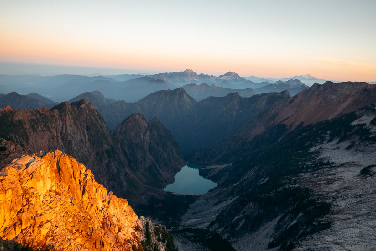
7. Goat Lake
Distance: 10.2 miles RT | Gain: 1,637 ft | Difficulty: Moderate
This hike doesn’t feel hard (at least not for me). I reached the lake late in the day, with the sun already low, and had the place almost to myself. It was quiet in that way that makes you slow down without trying. My kinda quiet. It’s one of those hikes that stays in your head longer than you expect, and I know I’ll be back. Maybe a few more times.
Good to know: There have been cougar sightings in the area, and car break-ins have been reported at the trailhead. Just something to be aware of before you go.
Special features: Great for overnight backpacking with established campsites, wildflower displays in July, and incredible sunrise/sunset reflections on the lake.
What to expect: Long but gentle day, beautiful lake destination, and the satisfaction of completing a substantial mountain hike.
Link to Alltrails
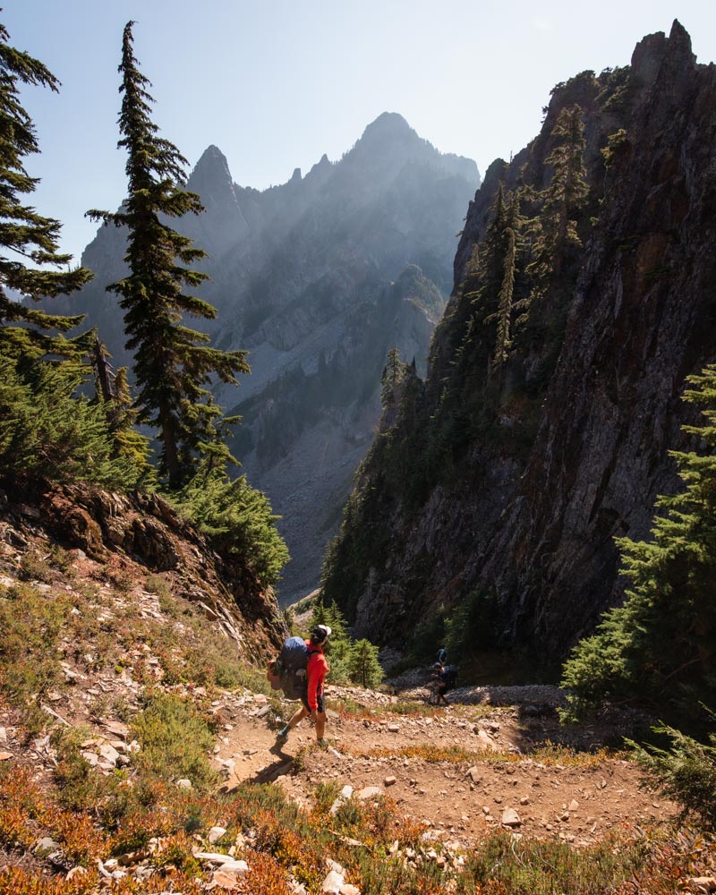
Challenging Mountain Loop Highway Hikes


8. Mount Dickerman
Distance: 7.9 miles RT | Gain: 3,877 ft | Difficulty: Hard
I go back and forth on whether this feels like a “serious” hike — and I think that’s because it depends entirely on when you do it. In the summer, it’s tough but very straightforward: a long series of switchbacks, steady climbing, and no real route-finding drama.
I’ve also done it in the snow, and that’s a completely different experience. Winter turns this into a real mountain day — you need solid route-finding and snow travel skills — but it’s also one of the most memorable hikes I’ve ever done. I did it alone, finished in the dark, and instead of feeling rattled, I felt surprisingly comforted by the mountain.
About 50 switchbacks (mostly front-loaded) lead to the 5,723-foot summit, where the payoff is huge. From the top, you’re surrounded by the North Cascades — Glacier Peak to the east, Mount Baker to the north, and familiar names like Sloan, Del Campo, Morning Star, White Chuck, Big Four, and Pugh all laid out around you.
Reality check: This is a workout. It’s sustained climbing no matter the season, so bring water and pace yourself. But if you like steady effort with an outsized reward, this one absolutely delivers.
Winter note: Some experienced hikers winter camp near the summit before road closures. It’s challenging and requires the right skills — but in the right conditions, it’s incredible.
Link to Alltrails


9. Mount Forgotten Meadows
Distance: 9.3 miles RT | Gain: 3,146 ft | Difficulty: Hard
This hike goes on forever — but in a good way. The farther you walk, the more it feels like you’re actually leaving things behind. It has this forgotten, almost fairytale quality to it, and I’m pretty sure the fog and classic PNW mood had something to do with that.
Mount Forgotten Meadows feels much more remote than it actually is. It doesn’t see the crowds of other Mountain Loop hikes, and once you’re out there, it’s quiet in a way that makes you slow down without realizing it. One of these days its backpacking vibes are going to get me — it feels like the kind of place that asks you to stay longer.
What makes it special: In summer, the wildflowers take over completely. Whole meadows fill with color, and somehow it still feels like you have the place to yourself.
What to expect: Steady, sustained climbing through forest before everything opens up into wide alpine terrain. It’s not flashy — it’s immersive.
Best timing: Mid-to-late July is peak wildflower season, and if you catch it with fog or low clouds, the atmosphere is unreal.
Link to Alltrails


10. Gothic Basin / Foggy Lake
Distance: 9.2 miles RT | Gain: 2,840 ft | Difficulty: Hard
This hike is brutal on the knees — there’s no getting around that. But the moment you reach Foggy Lake, the pain just… disappears. The basin is moody and gothic, with jagged granite spires rising out of the mist, and it feels unreal in the best possible way.
Foggy Lake sits in this surreal granite bowl that honestly doesn’t feel like Washington at all. The water is clear, the views are massive, and the whole place has this wild, almost otherworldly presence. It’s a hike I recommend over and over, even knowing how hard the climb is.
The trail starts on old mining roads through the forest before committing to a long, sustained climb into increasingly dramatic alpine terrain. It’s a grind, but the scenery keeps getting better as you go.
What to expect: Serious elevation gain and a long day. The final approach into the basin is where everything clicks into place — one of those moments where you forget how much effort it took to get there.
Worth doing: If you still have energy, hike higher. There are multiple side trails and routes above the lake that open up even bigger views, and they’re absolutely worth the extra push.
Strategy: Start early, pace yourself, and respect the climb. This is one of the most dramatic alpine settings in the region — and it earns every bit of that reputation.
Link to Alltrails
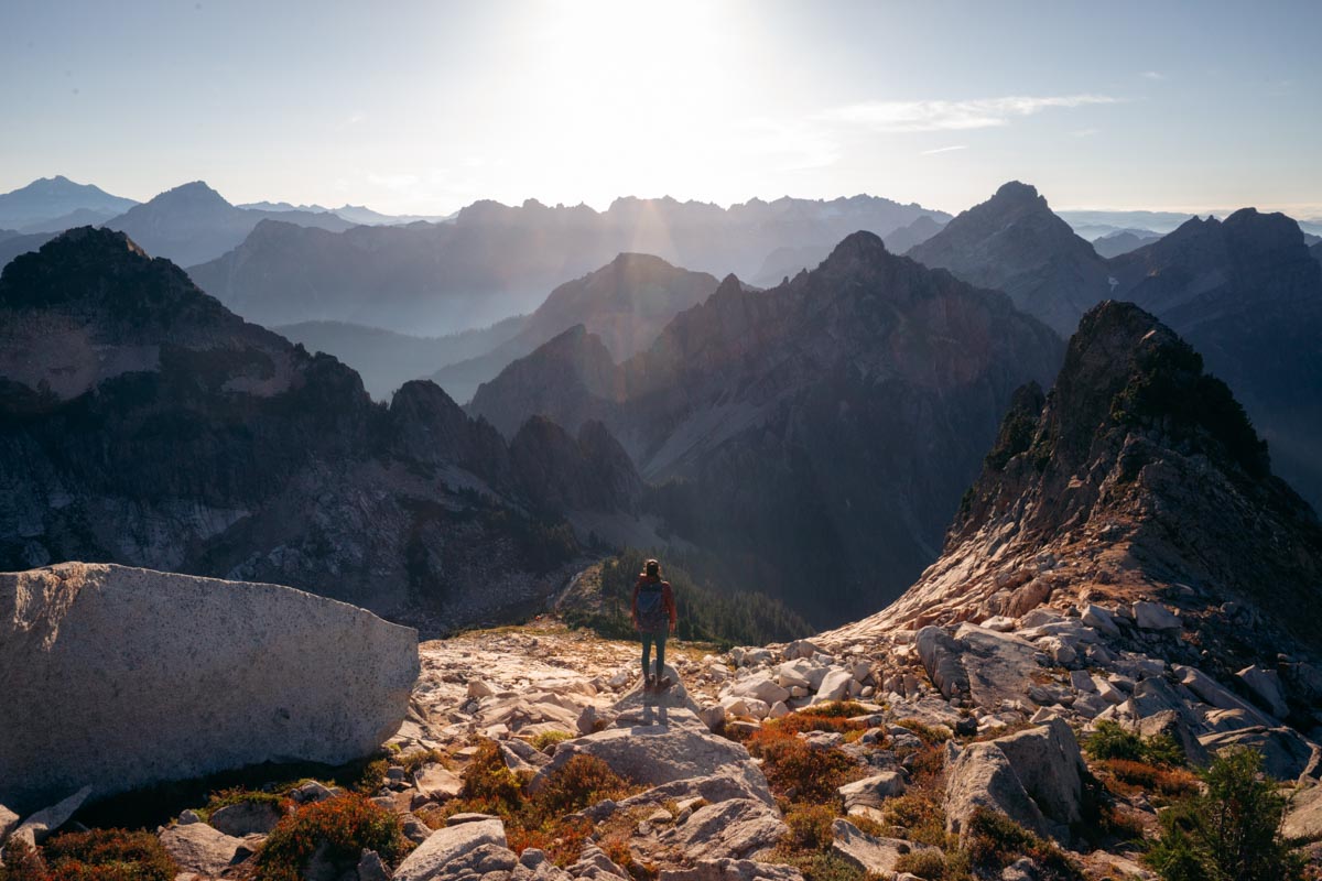
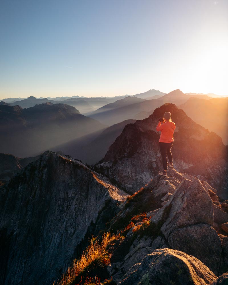
11. Vesper Peak
Distance: 6.8 miles RT | Gain: 4,094 ft | Difficulty: Very Hard
The first time I tried this hike, I turned around about half a mile in. I just wasn’t feeling it. The next time? I couldn’t get enough.
Vesper is relentless — it goes straight up — but it’s short enough that the suffering is over quickly. We ended up camping on a ledge overlooking the lake, then hiking to the summit at sunrise with a handful of other people. It was easily one of those mornings that sticks with you. This is absolutely doable as a day hike, but it’s even better if you spend the night.
People love to talk about the boulder hopping and scrambling near the top, but honestly, it’s way over-exaggerated. It’s steep and exposed in places, yes — but if you’re comfortable on mountain terrain, it’s straightforward.
The payoff is huge. From the summit, the 360° views make you feel like you’re standing on the edge of the Cascades, looking deep into the range in every direction. It’s the kind of summit that actually makes the effort feel earned.
What to expect: Sustained, steep climbing, some exposure, alpine meadows, and possibly lingering snowfields even in summer. This is a real mountain hike — not for beginners — but it’s one I recommend over and over.
Worth knowing: Go on a clear day, bring plenty of water, and be ready to work. Easily my favorite hike on this list.
Link to Alltrails
Final Tips for Hiking the Mountain Loop Highway
Check current conditions:
Things change fast up here. I always peek at recent trip reports on the Washington Trails Association site before heading out — it’s the quickest way to know what you’re actually walking into.
Start early:
If it’s a popular trail, an early start makes a huge difference. Getting there around 7–8 AM usually means easier parking and a much quieter experience.
Bring your Forest Pass:
Most trailheads along the Mountain Loop require a Northwest Forest Pass. The annual pass ($30) pays for itself quickly if you hike even a handful of times — and it helps keep these trails maintained.
Pack for changing conditions:
Mountain weather can swing 20+ degrees between the trailhead and where you end up. Layers beat one heavy piece every time, especially if you’re heading higher.
Respect the place:
Stay on established trails, pack out everything you bring in, and follow Leave No Trace principles. These hikes stay special because people treat them that way.
The Mountain Loop Highway packs an incredible amount of variety into one stretch of road — waterfalls, alpine lakes, quiet forest walks, and big summit days — all within a reasonable drive from Seattle. Whether you’re easing into the mountains or looking to earn your views, this area delivers. Lace up your boots, grab your pack, and give yourself time — this is a place worth lingering in.